Map Location:
Information
- Category: Treks
- Client: Yala Nepal
- Project date: Aug 1, 2023
- More information: YalaNepal
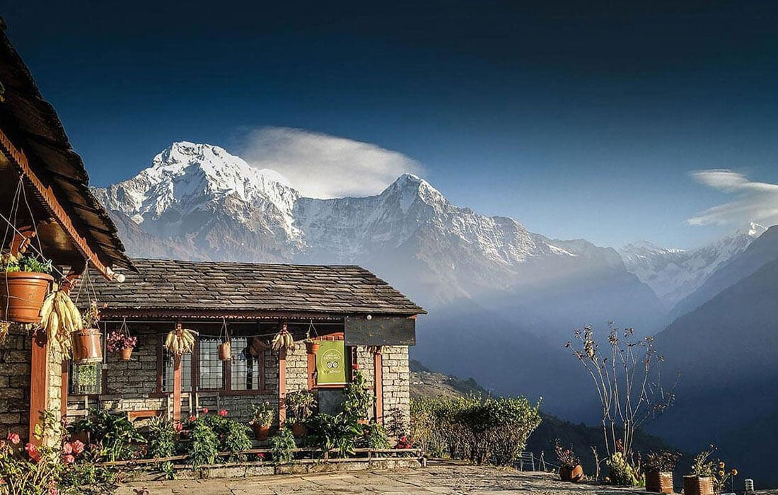
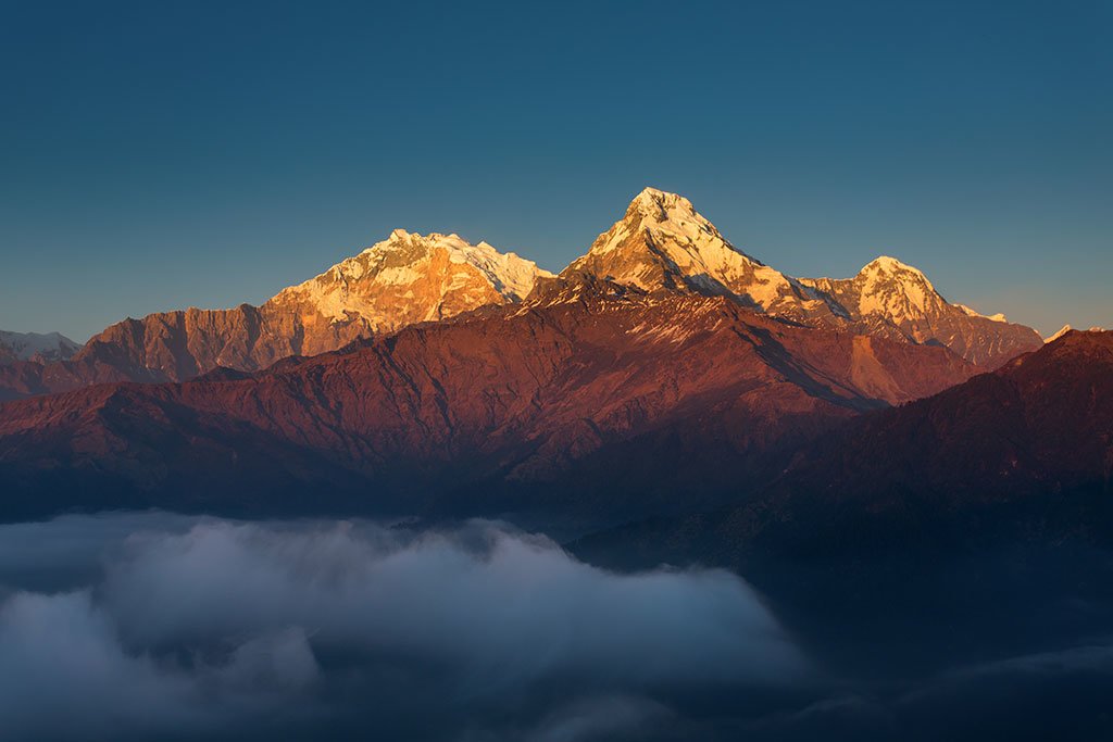
Ghorepani
Ghorepani is a charming village situated in the Myagdi District, within the Dhaulagiri Zone of northern-central Nepal. It is about 17 kilometers away from the district capital, Beni, and sits at an elevation of approximately 2874 meters (9429 feet). The village is located in the Annapurna Conservation Area, so a national park permit is required to visit. Ghorepani has several "guest houses" that offer accommodation and meals to mountain trekkers. Many trekkers choose to spend the night here before embarking on a pre-dawn hike to the nearby Poon Hill (3210 meters/10531 feet) to witness the sunrise. The name "Ghorepani" comes from the Nepali words "pani" (water) and "ghora" (horse), as it used to be a resting place for ancient traders' horses, who found water here. With the construction of new roads, the trade route through Ghorepani became obsolete, and tourism has become the primary source of income for the villagers. Ghorepani is an important stop on a major trail connecting various other villages and the Annapurna Base Camp. From the Southeast, it can be reached on foot from Birethanti in around 10 hours, but many trekkers prefer to split the journey over two days due to the steep trail, altitude gain, and the breathtaking natural beauty. From the Northwest direction, Ghorepani is reachable in about 8-10 hours, starting from Tatopani and passing through the villages of Shikha, Dana, and Chitre.